ProMax® GIS Tool™
The GIS Tool allows for the creation of pipeline network systems directly from geographic information system (GIS) data. This tool will accept .kmz, .kml, .shp, or .xyz files, display the data visually on a geographic plot, and allow the user
to manipulate the data to replicate the system under its current layout. From there, the tool will create a fully functioning ProMax flowsheet to represent this network and allow you to quickly add pipeline and stream information from the Flowsheet Tool.
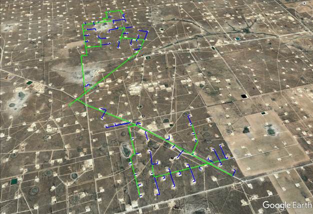
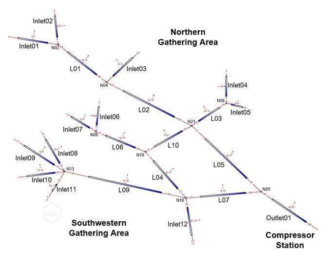
Gathering System Drawn in Google Earth™
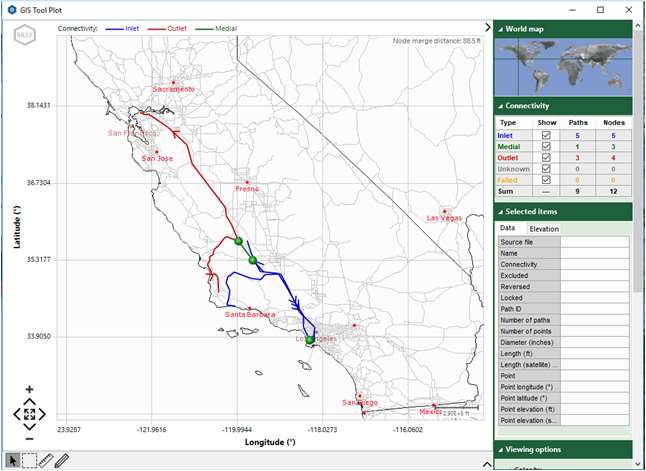
GIS Tool Plot
The GIS Tool button in the ProMax ribbon launches the GIS Tool interface. Within this window, ProMax can accept multiple GIS files, as well as background files to help reference your system to common landmarks such as lakes, rivers, highways,
or EIA energy infrastructure information. The accompanying plot will update to include all information added.
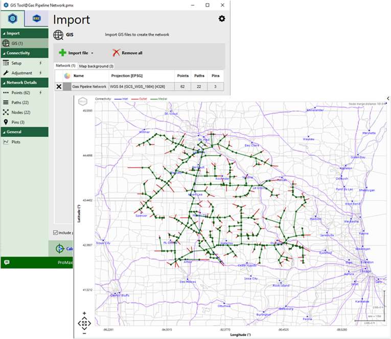
Once the desired GIS information is loaded, the tool allows the user to:
- Set all inlet and outlet streams
- Split, join, rename, or flip the flow of any path to update the information to match current conditions
- Reduce the number of data points in order to control the accuracy, and therefore the speed, of the model based on elevation profiles
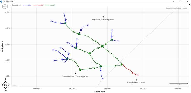
By simply clicking the “Create Flowsheet” button within the GIS Tool Window, a new ProMax flowsheet will be created from this information. This pipeline network will retain the spatial orientation, line lengths, and elevation profiles of the original GIS file.
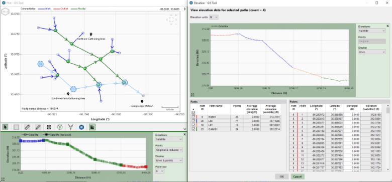
Elevation Manager
The GIS Tool Elevation Manager allows for visualization and modification of the elevation profile of any path, group of paths, or the entire network.